
Elevation masks can be used to give a single color to heights above or below certain elevations in order to distinguish those elevations within the map.
| Lower Elevation Mask (shown in pink) |
Upper Elevation Mask (shown in purple) |
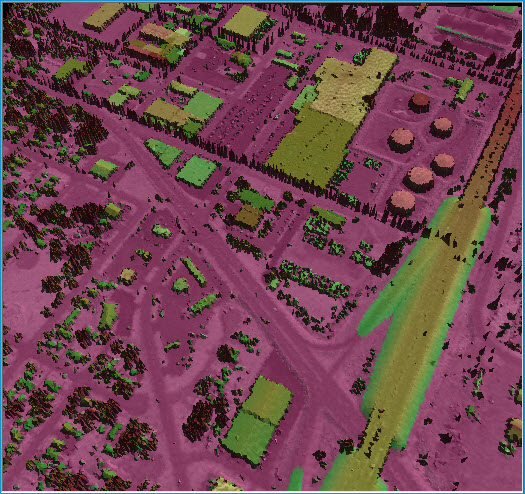 |
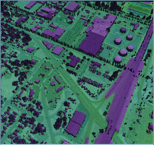 |

1. Open the Properties dialog.
2. Select the 'Symbology' tab and the 'Elevation' tab within it.
3. Click the checkboxes for the elevation masks you wish to apply.
4. In the appropriate text box, insert the boundary elevation for your lower or upper elevation mask.
5. To change the color of a masked area, click on the appropriate colored box. Select a color from the standard Windows® color dialog box, and click OK.