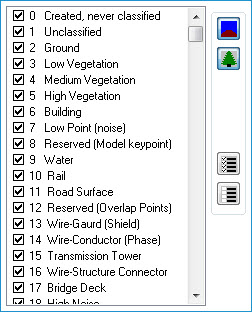
A classification filter is used to define a set of points that only have classification values that are checked or "turned on" in the property page. Classification values are assigned during the filtering or classification step when processing the LIDAR data before it reaches the end user. A custom set of classification values may be used as well as any combination of the predefined classification sets located on the far right of the dialog.
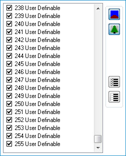
NoteIf your LAS files are version 1.4, 256 classes can be defined for a LAS point. Previous versions of LAS files (1.3 and below) allow 32 classes. |