About the Color Source
The Color Source is the layer or Data View that defines the color values (i.e., RGB Values) to display points. Any layer type such as an image, feature class, or custom layer can be used as a color source.
Example of Color Sources
| Points Displayed with Image Source |
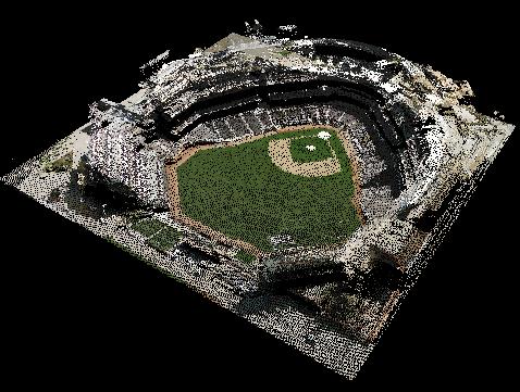 |
| Points Displayed with Polygon Feature Class Source |
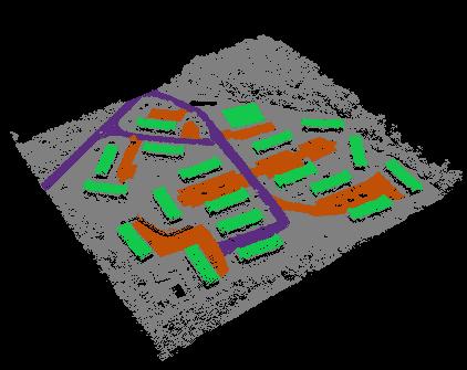 |
How to Select a Color Source
Color Source box 
1. Open the Properties dialog.
2. Select the 'Symbology' tab and the 'GIS Fusion' tab within it.
3. Click the down arrow on the 'Color Source' box.
4. Select a layer to use colors from or select the Data View option to use the current map's color values.
Tip
- When using the Data View option, make sure the current map/data view is not obstructed by any other windows.
-
- If using a color source such as buildings or imagery that has a coordinate system that differs from the LIDAR data, the color source and the LIDAR data must be assigned their respective coordinate systems.
|
