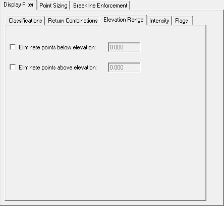

An elevation mask is a mechanism for filtering LIDAR points based on elevations. You can eliminate points below or above a specific elevation or z value. The eliminated points are not included in the points, TIN surface or contours that are displayed on the screen. The elevation mask can be useful for quickly identifying areas above or below a specific base elevation such as for flood plains, or tsunami inundation.