QCoherent Software, LLC


Using a Basic Extent


About Basic Extents

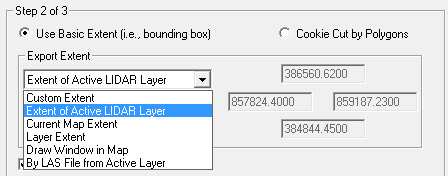
A basic export extent is a simple bounding box or envelope that defines the area from which to export LIDAR points. The following options can be used to obtain an export extent: The basic extent or the input can be buffered by a specified distance and can be cookie-cut by tiling the area using rectangular grids or tiles of a specified height and width.

Learn more about tiling the export area

When exporting rasters, the extent you specify will be adjusted so that the corners of the raster is divisible by the cell size. The adjusted extent is at least as big as the selected extent to ensure complete coverage of the selected area. If the extent divides perfectly into the cell size, no adjustment is made to the export extent. If a raster is selected as the export format, the Raster Information Frame will display the number of rows, columns, and total number of cells per file.    

How to Select a Basic Extent

  1. Complete the first step required in the Export Wizard. See Export Format (Step 1 of 3) for instructions on starting the Export Wizard and completing the initial step.

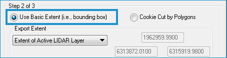
  2. On the Step 2 of 3 page, click Use Basic Extent.
  3. Select an extent to use for the bounding box in the Export Extent list.

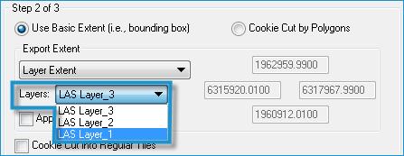
    • If you select Layer Extent, also select a layer in the Layers list that displays.
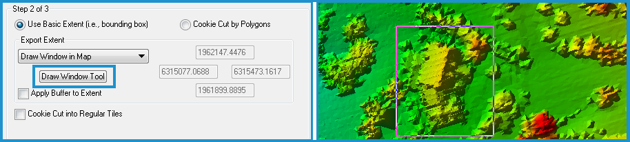
    • If you select Draw Window, click the Draw Window Tool button, and drag a box in the map.
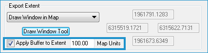
  4. To apply a buffer to the extent selected, click the Apply Buffer checkbox and enter a buffer distance in map units. Enter a value greater than zero.
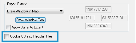
  5. Select Cookie Cut into Regular Tiles to export rectangular grids of the data using a specified width and height. Define the tiles as described in Cookie-cutting using Tiles.
  6. Click Next to go to the next step in the Export Wizard.

Tip

  • The Custom Extent method can be used after selecting any of the other methods to refine the export extent further.