
About Map Tips (for LP360 for ArcGIS)
When Map Tips are used, a map tip will be produced at the mouse cursor location in the map. The text in the map tip is determined by the Primary Display Attribute set on the Display tab and, if viewing points, the closest point to the mouse location. If viewing the TIN surface, an interpolated value from the TIN surface will be displayed. Elevation, intensity, and RGB primary display attributes are valid only for TIN viewing.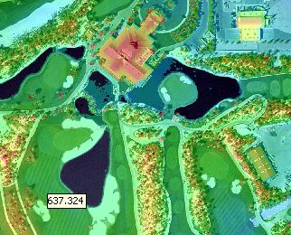
Learn about the primary display attribute
