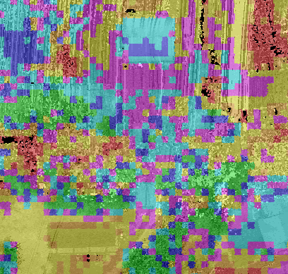
Symbology is used to define the properties (e.g., color and size) for drawing in the map.
Define Mono/Hillshade in map view.
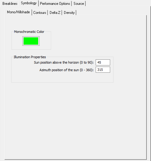
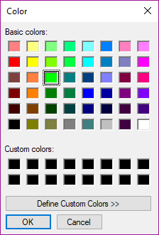
Monochromatic Color - Opens the Color dialog to pick the monochromatic color for the map display.
Illumination Properties - Used to adjust properties of hillshade display;
Sun position above the horizon - Angle of the sun in the sky in relation to the Earth's surface. Units are degrees.
Azimuth Position of the sun - Position of the sun in relation to North. Units are degrees.
Determines how contours are displayed in the map view.
Define map units and line symbology
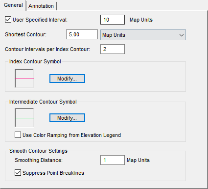
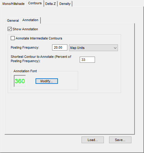
Define contour annotation behavior and appearance.
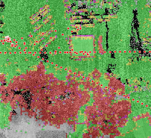
Defines display settings when using Display by Elevation Difference display mode.
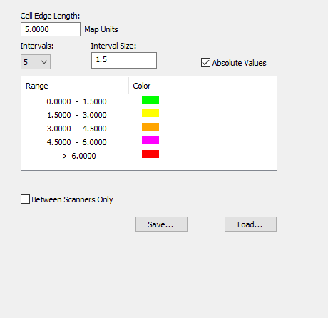
Cell Length - Defines size of each display cell
Intervals - Defines the number of ranges used when creating map display, can be set from 3 to 10.
Interval size - Defines the range of each interval.
Defines display settings for Display by Point Density display mode.
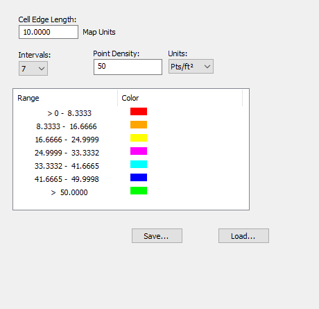
Cell Edge Length - Defines size of each display cell
Intervals - Defines the number of ranges used when creating map display, option of 3-10.
Point Density - Sets the uppermost greater than range, the other intervals will be automatically computed based of the entered density.
Units - set units used when determining map display, points per square foot or points per square meter.