QCoherent Software, LLC


Selecting a Type Field in a Breakline Source Layer

About Selecting a Type Field

Features within a single layer can be treated differently using a field to distinguish between feature types. For example, if a layer represents a hydrology network with centerlines, culverts, and connectors, two of the features types could be excluded from the breakline enforcement (i.e., culverts, and connectors). This is accomplished by selecting a field in the database that represents these feature types.

Learn more about how to toggle the use of types
Example of Using a Type Field

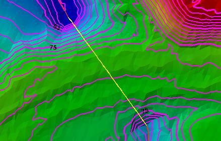
Surface NOT using Type Field (culvert burns through road) "None" option is selected and all features are used
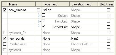
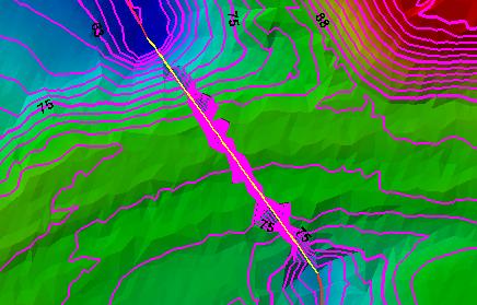
Surface using Type Field (culvert excluded from surface) Type field is selected and culverts are unchecked

How to Select a Type Field

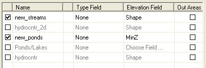
  1. Click within the Type Field Column for the row of the layer you wish to select a type field for.
  2. Select a field from the list. The unique type values will be listed.