
About Minimum and Maximum Value Methods
The Project and Current View options provide two choices for determining the minimum and maximum values from the distribution of elevation values within the project or current extent of the map. These methods are "Minimum and Maximum" and "Standard Deviation". The "Minimum and Maximum" method does not differ from the true minimum and maximum values within the distribution of elevation values. The "Standard Deviation" method calculates the minimum and maximum values based on a number of standard deviations from the mean of the distribution of elevation values. The "Standard Deviation" method reduces the effect of outliers or skew in the distribution of colors.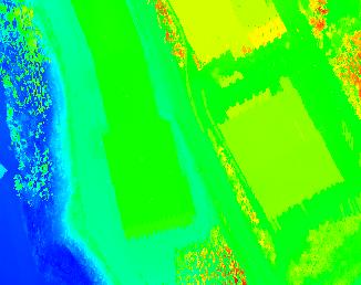
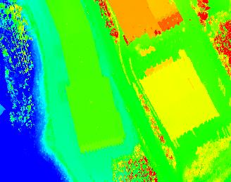
Learn how to modify the standard deviation value
