
LIDAR points can be exported to point shapefiles. The points stored in the shapefiles can be either 3D or 2D shapes. You may select any combination of point attributes to store in the database for the shapefile. The following field names are used for each LIDAR point attribute:
X - x coordinate (easting)
Y - y coordinate (northing)
Z - z coordinate (elevation)
CLS - classification
INTEN - intensity
RETNUM - Return Number
NUMRETS - Number of Returns
PSID - Point Source ID
SCANGLE - Scan Angle
USERDATA - User defined data
TIMESTMP - Timestamp (GPS Week or POSIX)
RED - Red color value
GREEN - Green color value
BLUE - Blue color value
This is the method for completing Step 1 of the Export Wizard for Shapefile output only.
Open the LP360 Export Wizard by clicking the Export LIDAR Data command on the LP360 toolbar. The Export Wizard dialog will open with the Step 1 of 3 page displayed.

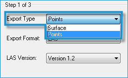
Click the arrow in the Export Type list and select Points.
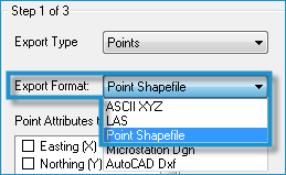
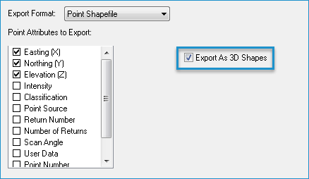
Click the arrow in the Export Format list and select Point Shapefile.
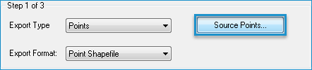
Click the Source Points button to define which points you want to export. See Modifying the Point Filter for LIDAR Export for more information.
If you want to include any point attributes in the output shapefile, select the attributes in the Point Attributes to Export list.
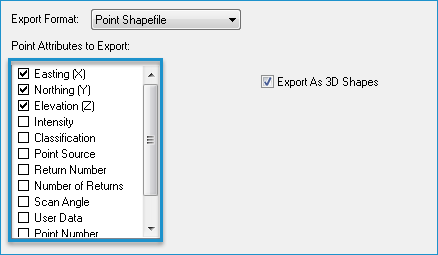
If you want the points to be exported as 3D shapes, select Export as 3D Shapes.
Click Next to go to the next step in the Export Wizard.
