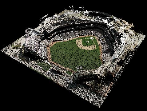
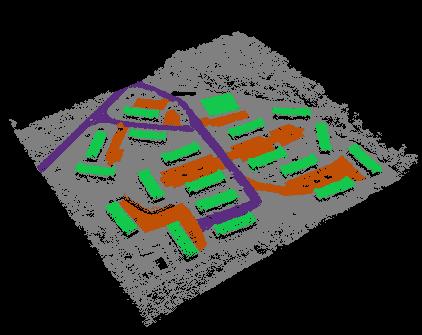
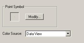
The GIS Fusion legend allows you to "paint" points using color values from the map screen (i.e., Data View) or a layer such as an image, or feature class. When displayed in 3D, the points appear to be draped by the color source especially when displaying a surface such as a TIN.