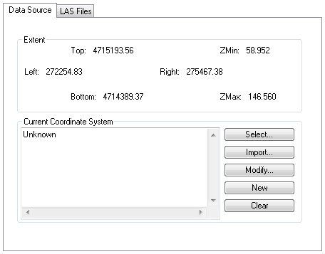
The Source Property Page encapsulates the coordinate system and data source information for a LIDAR Layer. The coordinate system allows the layer to be used for projection-on-the-fly within ArcMap™. The LAS Files collection can also be managed from the LAS Files tab of the Source Property Page.
Learn about the Layer Coordinate System
Learn about the LAS Files Collection