
About Layer Transparency
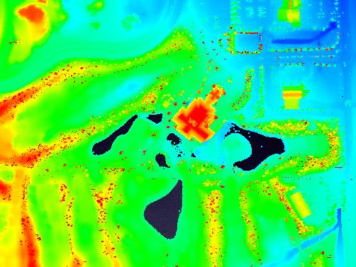
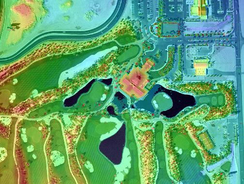
A layer can be made transparent so that the background or layers beneath will show through. The degree of "blending" is controlled by a percent from 0 to 100. Zero is opaque and 100% is completely transparent or not seen. Transparency is useful when displaying LIDAR data on imagery such as orthophotographs.NOTE: Layer transparency is supported in the ArcMap extension only.

 in the slider
control.
in the slider
control.