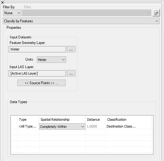
The Classify By Features dialog
captures the input required to classify LAS
points that satisfy a spatial
relationship with feature geometry. Feature geometry can be any
vector layer in the map. You may select one of two spatial relationships
that LAS points may have with feature geometry: "Within a Distance
of" or "Completely Within".
The "Within a Distance Of" relationship will classify all points
within a specified distance of the input geometry. If the input geometry
is polygonal, then you may select a "Completely Within" relationship
which classifies all points contained within the polygons.
Picture of the Classify By Features Dialog
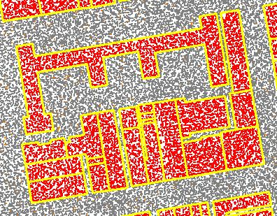
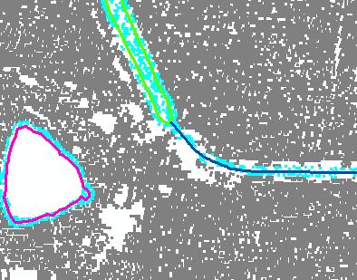
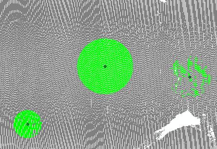
Some Examples of Classify Results
Points inside
of the polygons (yellow) assigned to the building class
Points classified
within distance of polygons and lines
Points classified
within distance of point features