When classifying LAS
points within the buffers of the input geometry, you may choose to
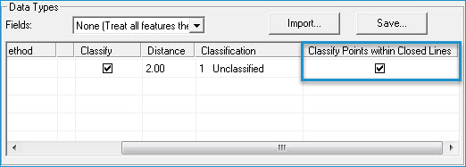
treat closed lines (i.e., lines that have the same from and to points)
as polygons. If you treat closed lines as polygons, all points within
the closed lines and within a distance of the lines will be assigned
to the destination classification.
Treating closed lines as polygons even when they originate in polyline
data sets is particularly useful when features need to be treated
separately or individually. For example, a hydrology data set may
include stream centerlines, ponds, lakes, and rivers. If you want
to prepare the data for use as breaklines,
stream centerlines would require a basic removal of points within
the buffers. However polygonal features such as ponds, lakes, and
rivers, require removal of not only points within the buffer of the
lines, but of all contained points.
Learn
more about buffering points for breakline enforcements