Intensity values can be determined within LP360 in a couple of ways.
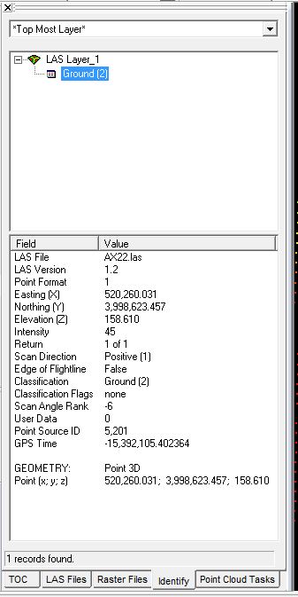
Identify Tool:
The identify tool can be used to determine the intensity value for any given point that is currently loaded into LP360.
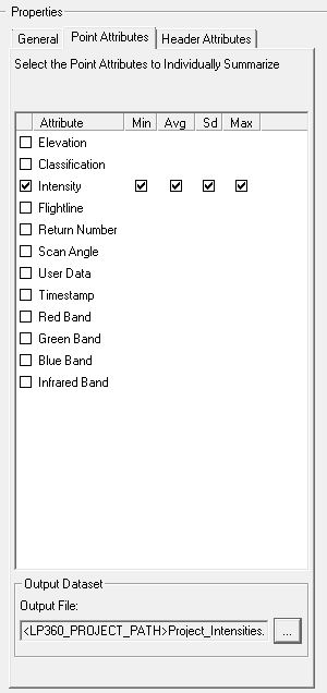
LP360 Point Cloud Statistics
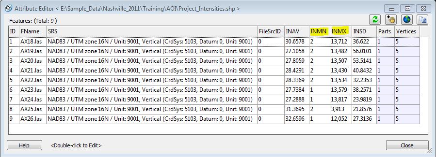
LP360’s Point Cloud Statistics Point Cloud Task, can be used to determine the minimum, maximum, average and standard deviation value for intensity values within a LIDAR file. This can be useful if a user is trying to determine what the intensity range is of the dataset. The information is output to a shapefile.


