When the auto-download of the ephemeris is not working you may elect to manually determine the correct ephemeris file to download from the NASA CDDIS site while your IT resolves any connection issues. Click here to determine the alternate navigation file to download from NASA’s CDDIS.
- Determine the start/end times in UTC or GPS for your mission/Cycle to be processed. The difference between UTC and GPS time is only a few seconds, so it won’t matter for the purpose of selecting an appropriate ephemeris file. For an example to follow, if your data was collected between 13:00 – 17:00 UTC on April 26, 2021.
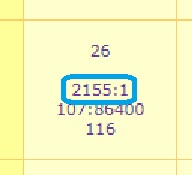
- To determine the ephemeris file to download, first determine the GPS week and day of week for your observation by using the interactive calendar provided by a third party. This calendar presents dates specific to the GPS community. The data for each day are as follows. The second line contains the week number and day of week number that you will need to locate the appropriate file to download from the site.
| Row | Example | Definition |
| First | 1 | Calendar day of the month |
| Second | 1485:2 | Full GPS week since 1st epoch : day of week number |

For our example we will find we are dealing with day 1 on GPS week 2155.
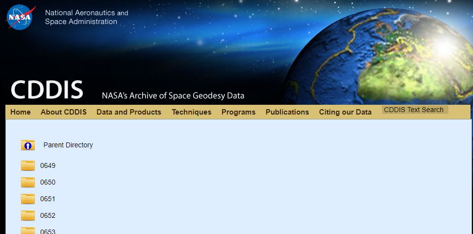
- Go to the NASA CDDIS site. You will need to create an EarthData login if this is your first time using the site. navigate to https://cddis.nasa.gov/archive/gnss/products/ if you end up elsewhere during the login process.
- Select the applicable GPS week as determined in step 2. Week 2155 for our example.
- Locate the available igsWWWWD.sp3.Z, igrWWWWD.sp3.Z, or iguWWWWD_hh.sp3.Z. The differences and approximate availability are explained in the Ephemeris and Navigation Data Files, but the short answer is look in the order of final solution (igs*), rapid solution (igr*), or ultra-rapid-solution (igu* for GPS only and igv* for all constellations). Our example is more then a few weeks ago, so all the options exist and we’ll find:
- igs21551.sp3.Z
- igr21551.sp3.Z
- igu21551_00.sp3.Z
- igu21551_06.sp3.Z
- igu21551_12.sp3.Z
- and, igu21551_18.sp3.Z.
- Since the final solution is available and is the best solution we would right-click on igs21551.sp3.Z and select “save link as” to copy the file local to our machine for processing.
- If the final solution (igs*) is not available, then select the rapid solution (igr*).
- If the rapid solution (igr*) is not available, take the latest available ultra-rapid-solution (igu* for GPS only and igv* for all constellations).
- Once the file is downloaded, you will need a program, such as 7-zip, to be able to right-click on the Z file and extract the sp3 that has been compressed therein. For our example, it is the igs21551.sp3 that we would provide to True View EVO or ASPSuite as the ephemeris file for use during processing of the trajectory solution.
