GeoCue Support » LP360 Geospatial » LP360 Geospatial Tutorials » Page 2
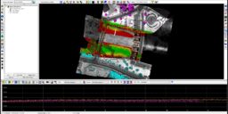
Streamline Your Data Review Process with LP360’s Qualty Assurance / Quality Control Tool: Identifying and Fixing Issues Made Easy In this Tool Tips video, hosted by Martin Flood, Vice President of Special Projects, discover how LP360’s Qualty Assurance / Quality Control tool streamlines the project review process, making issue identification and resolution a breeze. Say…
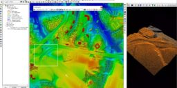
LP360 LiDAR processing software offers a valuable tool known as the Delta Z map that greatly contributes to the quality and accuracy of drone LiDAR projects
In this 20-minute video, learn how LP360 can quickly and efficiently create ground classifications from LiDAR data
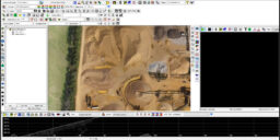
WATCH THIS VIDEO TO SEE HOW TO PERFORM VOLUMETRIC ANALYSIS IN LP360 LP360 has one of the most comprehensive assortments of volumetric tools available for geospatial processing to perform volumetric analysis. Now users can easily define toes and clean volumetric data in a fraction of the time. In the workflow video below, Chad Dillard, the…
In this LP360 tutorial we provide an introduction to the Point Cloud Task (PCT) and Feature Analyst. How to add, modify, and organize your Point Cloud Tasks using Point Cloud Task Manager (PCTM). Plus, how to use Feature Analyst to review and navigate using features. This tutorial picks up from USDA LIDAR Training Part 9: Integrating the 3D…
In this LP360 tutorial we review integrating the 3D viewer into your workflow. Review of the legend command, symbology and filters in Live View, and displaying contours on the TIN. This tutorial picks up from USDA LIDAR Training Part 8: Integrating the Profile View and uses data downloaded as explained in USDA LIDAR Training Part 4: Introduction to LIDAR Server.…
In this LP360 tutorial we review integrating the profile view into your workflow. Review of the legend command, symbology and filters in Live View, and profile drape lines. This tutorial picks up from USDA LIDAR Training Part 7: Live View Custom Filters and uses data downloaded as explained in USDA LIDAR Training Part 4: Introduction to LIDAR Server. If you…
In this LP360 tutorial we show the user the TIN draw type and how to use Live View to create custom filters. Then, show options for on-the-fly contours. This tutorial picks up from USDA LIDAR Training Part 6b: Legends and using Live View and uses data downloaded as explained in USDA LIDAR Training Part 4: Introduction to LIDAR Server. If…
In this LP360 tutorial we introduce the user to the legends command for controlling the displayed attributes and using Live View to control the point display and their symbology. This tutorial picks up from USDA LIDAR Training Part 6a: Adding Data and LAS File Analyst and uses data downloaded as explained in USDA LIDAR Training Part 4: Introduction to…
A short tutorial to introduce users to adding data in LP360 and a short introduction to using LAS File Analyst to review the makeup of the content of the LAS files. This tutorial picks up from USDA LIDAR Training Part 5: Licensing LP360 and uses data downloaded as explained in USDA LIDAR Training Part 4:…


