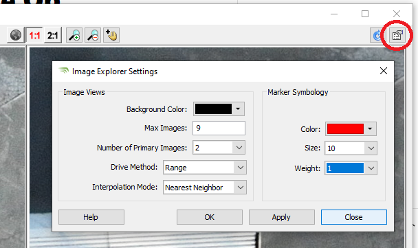
The Image Explorer Drive Method determines the method used to sort matching imagery.
Range will sort images by shortest distance from the camera position XYZ to the projected XYZ.
Photo Center will sort images by the shortest distance from the photo center to the projected raster column and row.
GPS Time will sort images by the shortest time difference between the photo GPS second and the LAS point GPS second. This mode will only work with LAS point cloud data.
Alignment will sort by the smallest alignment angle between the LAS point Laser Incident Vector and the Point to Photo Vector (LAS Points only).
Interpolation Mode uses Direct3D methods for smoothing the image display to minimize pixilation.
