If you have a river polygon that has been downstream constrained you may wish to QC your work to ensure the downstream constraint result is as desired. LP360 has a Downhill Vertical Test which does not work on polygons, but does work on polylines. This article covers how to test and correct downhill continuity on the riverbanks.
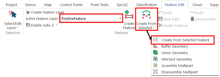
1. Create a new feature file using the Feature Edit toolbar, making it a 3D Polyline.
2. Make the new feature file the active feature file.
3. Select the 3D polygon you want to analyze, and click Create Features from Selected Features. This will create a new feature in the active feature file, which will be a 3D polyline, since that is the feature file type.
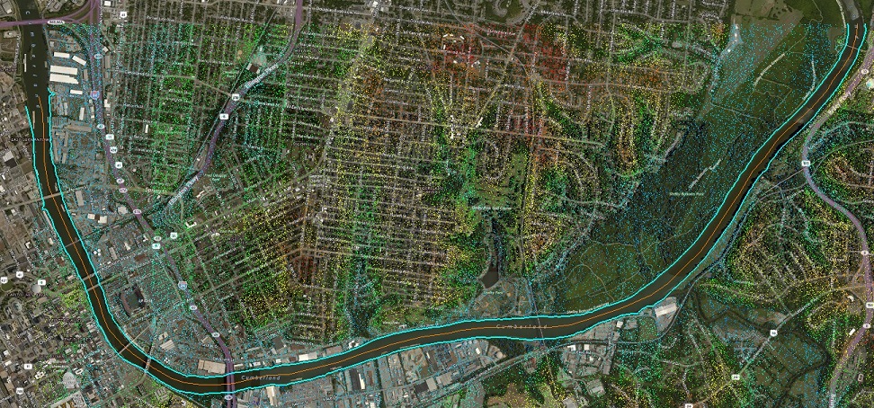
4. Once the 3D polyline is created, use “Split Geometry” to remove the ends of the new polyline. Don’t forget to save edits after you’ve split the feature and deleted the ends out.
5. In Feature Analyst, open Display Feature Analyst Options> Analysis tab > Vertical tab, check Downhill Vertical Test, and click Ok.
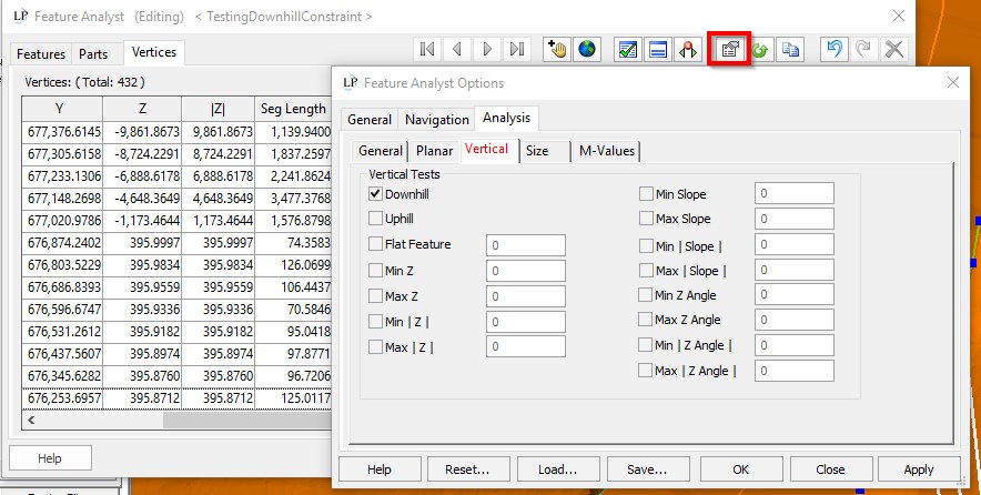
6. The Vertices tab will now show a column with Question Marks in the rows as the analysis has not yet been run. Hovering over the checkmark in the header shows the “Downhill” tooltip. The tooltip over the Question Mark says “Downhill: Unknown”.
7. Click the Analyze button. If there is a red X in the title bar, then there are one or more vertices that do not meet the downhill constraint. A green checkmark in the header indicates the feature is correctly constrained.
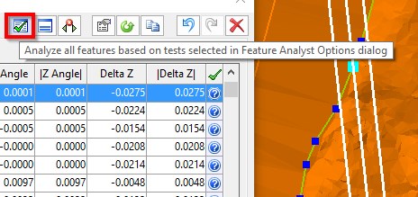
8. Navigate to adjust problematic vertices by clicking the row of the non-constrained vertex, which will likely be in the row AFTER the vertex that failed.

9. After adjusting the offending vertices using any of the Feature Edit tools, analyze the feature again to ensure the checkmark appears in the title bar of the Downhill column.

10. Repeat the Downhill analysis for the opposite bank.
11. If you made adjustments to the polylines, you will then want to reverse the process used to make the polyline features in order to obtain downstream constrained polygon features of the riverbanks. Use the feature edit tools to once again close the river. Use the Merge Line tool to merge the two banks and end caps into one feature. Make the polygon Feature layer the active layer. Select the closed polyline and use the Create Features from Selected Features tool to create a polygon feature in the polygon feature file.
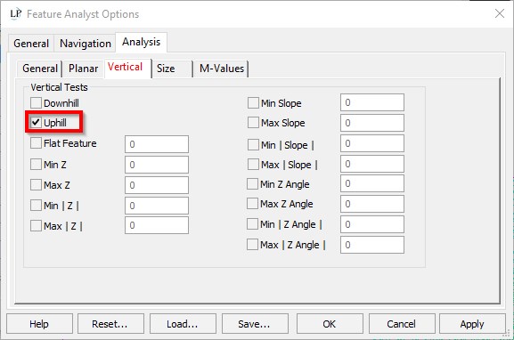
Note: If all (or most of) your vertices are failing the Downhill constraint, you may wish to use the Uphill test instead as that may be the “uphill” side of the original polygon.
