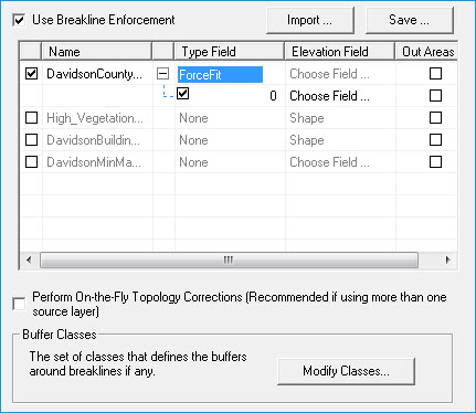
The breakline enforcement property page is used to define the layers/sources to use as breaklines for enforcement within a surface. The property page displays all applicable layers within a map that can be used as breaklines and allows you to select which sources to enforce on the surface. In addition to selecting the source layers, you may also turn off/on selective feature types within layers that you wish to exclude or use as breaklines. This is very helpful for excluding features such as culverts, and hydrology connectors that may appear in layers with included features such as stream centerlines.
| Using breaklines in 2D | NOT using breaklines in 2D |
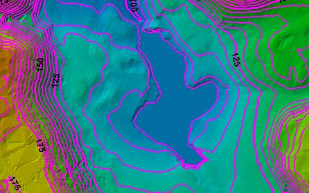 |
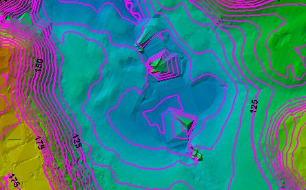 |
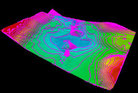
| Using breaklines in 3D view | NOT using breaklines in 3D view |
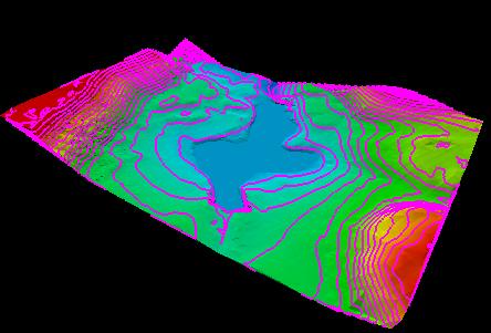 |
 |
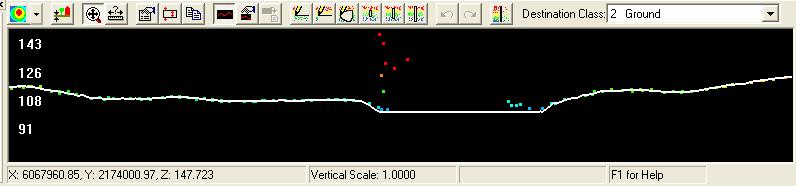
| Using breaklines in profile view (draped line over TIN surface) | |
 |
|
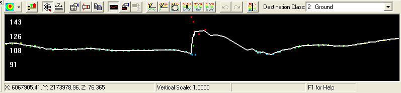
| NOT using breaklines in profile view (draped line over TIN surface) | |
 |