In LP360 Drone, formerly TrueView EVO, the user has a number of options for post-processing the trajectory solution. Applanix SMARTBase is one method that requires no local base station and produces centimeter level accuracy in network.

What is SMARTBase?
Applanix SMARTBase is a web service that uses existing ephemeris data from public base station infrastructure around the world to generate a virtual base station at your trajectory. SMARTBase FAQs.
SMARTBase Specifications
| Availability | Dependent on the surrounding CORS stations for the solution. This could be available shortly after the flight, usually shortly past the hour, or could take up to 24 hours for the CORS station data to become available for download. |
| Horizontal Accuracy | 2-5cm *APX-15 UAV Spec Sheet |
| Vertical Accuracy | 2-5cm *APX-15 UAV Spec Sheet |
| Mission Duration | No restrictions |
Note: The accuracy for single base and SMARTbase is similar if the network of base stations for the SMARTbase are nicely distributed and the baseline is not too far. Applanix algorithms do the best they can with the available base station data to compute your virtual SmartBase station. They do not control the base station data and as a result cannot offer any accuracy guarantees.
Where is SMARTBase Available?
SMARTBase Cloud Registration
Before checking if SMARTBase is available to process your TrueView flight you will need to register for a Trimble GNSS Augmentation Planner (TGAP) (formerly an Applanix SMARTBase Cloud account) account.

Using SMARTBase Cloud with True View
- Log into your Trimble GNSS Augmentation Planner (TGAP), formerly SMARTBase Cloud, account
- Check for project coverage.
- If planning a mission, draw the area on the map using a polygon or polyline, or import a central point for the UAV project area.
- If checking a flown mission:
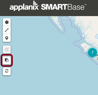
- Select Import your own Trajectory (Figure 3)
- Browse for the Cycle_YYMMDD_HHMMSS\System\CyclePath.CSV or T04 file.
- Select Preview SMARTBase.
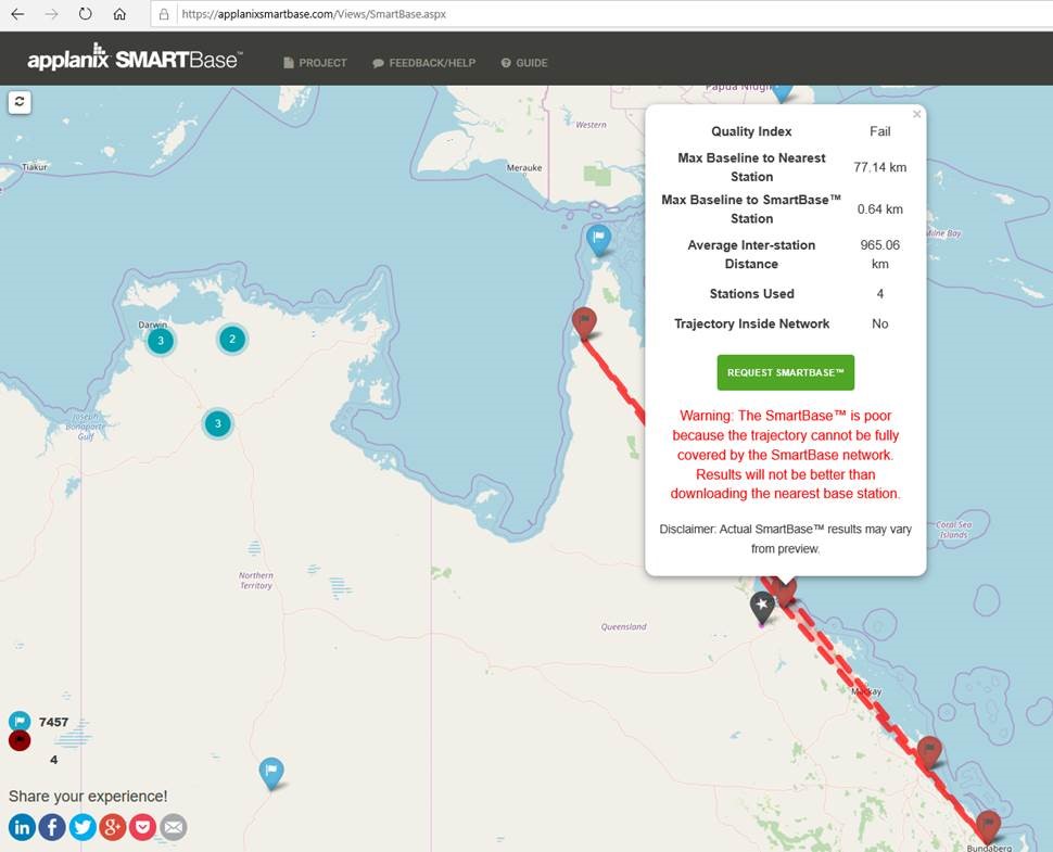
- Review the result (Figure 4)


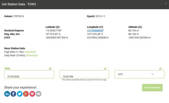
If the results show SMARTBase as not being suitable for your project, or if you prefer, you may still use the interface to locate and download (Figure 5) a suitable CORS station to use for processing in Single Base mode.

TrueView Operational Considerations
Verify the complete project area falls within the network formed by the surrounding CORS in order to achieve desired accuracies.