
*This feature is available in the Advanced license level of LP360.
The Planar Point Filter point cloud task is a planar based point classifier. It searches for points that fit defined planes and classifies those points to a specified class. The most popular use for this type of filter is for locating buildings among point cloud data. However, the planar filter could possibly be used to extract out points from other planes such as impervious areas that fit the defined parameters.
1. Use the Add Files command to open the LAS files that contain the data you want to use.
2. Use the Add Task command to create a new point cloud task. When you are selecting a Task Type in the Add Point Cloud Task dialog, select Planar Point Filter. Once you click OK, you should see the unique name that you gave your task selected in the list and the Planar Point property page displayed on the Point Cloud Task tab.
3. Specify the settings for the Planar Points Filter operation in the Properties page that displays.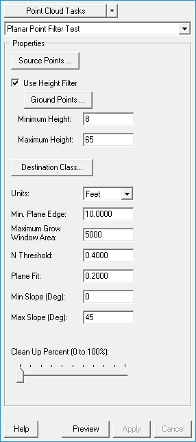
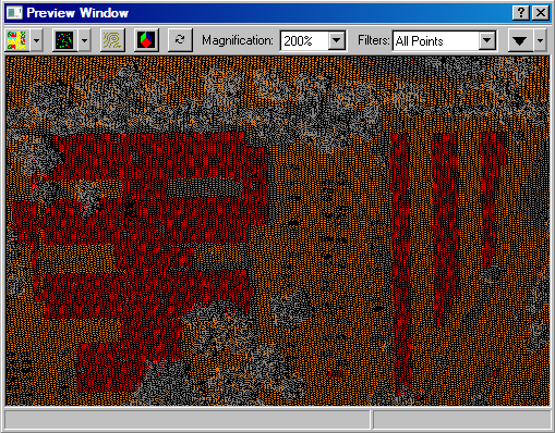
Learn how to modify the source filter
Learn how to select a destination class
Learn how to modify the units
Learn how to modify the estimated Min. plane edge
Learn how to modify the maximum grow window area
Learn how to modify the z threshold
Learn how to modify the plane fit
Learn how to modify the minimum object slope
Learn how to modify the maximum object slope
Learn how to modify the minimum object height
Learn how to modify the maximum object height
Learn how to modify the clean up percent
Learn how to use a height filter
Learn how to modify the ground point filter