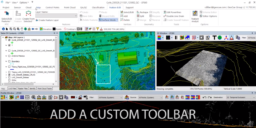
35 articles LP360 Drone Tutorials Page 2 / 4
A collection of how-to videos to assist with various tools, workflows, and analysis in LP360 Geospatial.
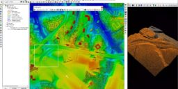
Tips for Quality Assurance and Quality Control (QA/QC) for LiDAR data
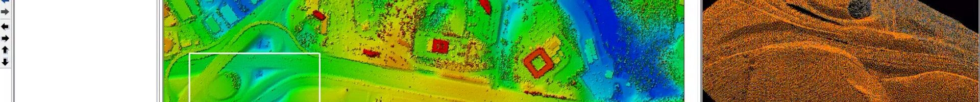
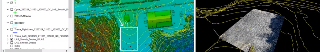
Streamline Your Data Review Process with LP360’s Qualty Assurance / Quality Control Tool: Identifying and Fixing Issues Made Easy In this Tool Tips video, hosted by Martin Flood, Vice President of Special Projects, discover how LP360’s Qualty Assurance / Quality Control tool streamlines the project review process, making issue identification and resolution a breeze. Say…
How to Enhance QA/QC with Delta Z Maps in LP360
How to Identify Encroachments on Power Lines Quickly and Efficiently
How to Perform Ground Classification in LP360
LP360 Workflow Video – How to Process L1 data in LP360 Drone
In this video, we demonstrate the updated workflow to help you get the most from your L1 data when you process your L1 data in LP360 Drone. LP360 Drone enhances data from your DJI (M3E, P1, L1, P4 RTK, M200 RTK, Zenmuse X4S, and X7S). We start where DJI Terra software ends. Produce final deliverables,…
Process Drone LiDAR Data Faster
Save time processing your LiDAR data with Multi-Cycle Import from LP360 When it comes to processing LiDAR and photogrammetric data, GIS professionals have been relying on the 3D High-Performance Point Cloud Processing capabilities of LP360. This advanced LIDAR software makes easy work of extracting information and generating deliverables in an intuitive GIS environment. One of…
How to Perform Volumetric Analysis
WATCH THIS VIDEO TO SEE HOW TO PERFORM VOLUMETRIC ANALYSIS IN LP360 LP360 has one of the most comprehensive assortments of volumetric tools available for geospatial processing to perform volumetric analysis. Now users can easily define toes and clean volumetric data in a fraction of the time. In the workflow video below, Chad Dillard, the…
How to Extract Rail Tracks with LP360 Drone
SEE HOW TO EXTRACT RAILS IN LP360 AND VIEW THE 3D POINT CLOUD With the merge of mdInfinity into LP360, users of Microdrones fully integrated systems can take advantage of the capabilities of LP360 Drone to transform raw flight data and generate colorized, georeferenced 3D LiDAR point clouds. In addition, the software allows you to geotag the imagery…
L1 Processing in EVO: Video Training Demo
The DJI Zenmuse L1 is an entry level system that integrates the Avia Livox LIDAR, IMU, and a 20MP mapping camera on a gimbal fitted to the DJI M300 RTK. When bundled with DJI Terra and GeoCue’s EVO software, it allows users to deliver quality data derived from non-complex environments. This video tutorial will walk…