GeoCue Support » Archives for GeoCue Support » Page 17
All our products require acceptance of an End User License Agreement (EULA) which can be found at the following locations once the software is installed: Versions 2018.1 and later: “C:\Program Files\LP360\LP360 64-bit” or “C:\Program Files (x86)\LP360\LP360 for ArcGIS” Versions prior to 2018.1: “C:\Program Files\QCoherent\LP360 64-bit” or “C:\Program Files (x86)\QCoherent\LP360 for ArcGIS” Furthermore, the terms of…
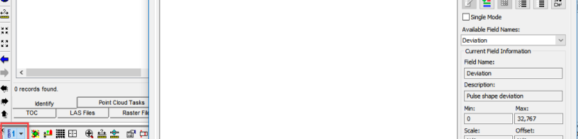
Officially introduced in the LAS v1.4 specification, Extra Bytes is a mechanism which allows a developer to define extra data fields of various types. They are a means to extend the LAS format to add additional information to each point, literally
Attempting to import a DJI guest sensor flight into True View EVO results in an “error exporting Post Process Trajectory File” during the import process. Open the MRK file in an editor, such as Notepad++, and look for erroneous epochs at the beginning of the file which have a negative timestamp and GPS week. Erroneous:…
DJI’s Geo System is the database the aircraft uses to determine if the aircraft can fly or not. This is strictly related to the aircraft and does not reflect FAA airspace restrictions which remains the pilots responsibility to determine. This risk-based global advisory system – commonly referred to as “geofencing” – uses GPS and other…
The Image Explorer Drive Method determines the method used to sort matching imagery. Range will sort images by shortest distance from the camera position XYZ to the projected XYZ. Photo Center will sort images by the shortest distance from the photo center to the projected raster column and row. GPS Time will sort images by…
When generating a GeoTIFF orthomosaic raster using Metashape or importing a large ortho from third party software into LP360 or TrueView Evo, the initial file is written in BigTIFF format which is incompatible with some CAD software packages, including Civil3D. There are also size considerations to be factored in as some orthos can be dozens…
Introduction: LP360 and True View EVO are a family of point cloud exploitation tools for both native Windows (“standalone”) and the ArcGIS® desktop platform. LP360 for ArcGIS is the world’s most popular extension to ArcGIS for point cloud visualization, editing and information extraction tool set for ArcMap®. Like ArcGIS itself, it is a 32-bit application. LP360 for ArcGIS…
When generating a GeoTIFF Ortho using Metashape through LP360, the initial file is written in BigTIFF format which is incompatible with some CAD software packages, including Civil3D. There are also size considerations to be factored in as orthos that are generated in TIFF format are subject to the 32-bit size limit of 4GB. This article…
LP360 and True View Evo can handle importing many LAS files to a single LAS Layer, however, there is a limitation for importing many LAS files at one time using the normal Microsoft browse files dialog that is used by the typical add files process. If the user hits this limit, an “Inadequate Buffer Allocation:…
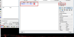
Receive an error message, “Executing task(s) failed (8690)” while trying to execute a Point Cloud Task. LP360 ErrorExecuting task(s) failed. (8690)Exception Information:HRESULT: 0x80004005Unable to retrieve extended COM error information. This is a catch all error message that generally occurs when something caused the PCT to fail in its execution. Verify the parameters for the desired…