Originally posted on the GeoCue Group website on May 28, 2020 What causes “Noise”? Drone LIDAR systems that use “automotive grade” laser scanners are known to be “noisy” as compared to a high end survey grade LIDAR such as those from Riegl. Part of this noise phenomenon is an illusion caused by close point spacing (Nominal…
What is POSPac? True View 3D imaging System (3DIS) uses Applanix APX Position and Orientation Systems (POS). The POS is a GNSS-aided Inertial Navigation System that provides the precise position and orientation of the sensor at a rate of 200 observations per second. This information is needed to “geocode” LIDAR and determine the exterior orientation of images. Applanix…
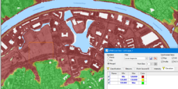
We will be releasing the second major update of LP360 in December of 2018. LP360 is a major focus for GeoCue software development and it really shows in this new release. LP360 is delivered in two platforms; an extension to ArcGIS (“LP360 for ArcGIS”) and as a standalone 64-bit application for Microsoft Windows® (“LP360”). When…
Platform: LP360 (Standalone) Minimum Licensing: Standard, sUAS Version: 2017.1 or higher Date: 15 September 2018 Introduction: This note describes importing control and/or check points in text format into LP360 for use in accuracy assessment. We distinguish these points as: Control Point – A point that was used in the modeling process. It generally should not…
This article is a continuation of the discussion of breaklines in LP360 (the standalone version). In last month’s installment, we discussed the overall concept of data modeling, especially the Triangulated Irregular Network (TIN). In this installment, I will discuss the general concept of adding constraints in the form of breaklines to these models. In future…
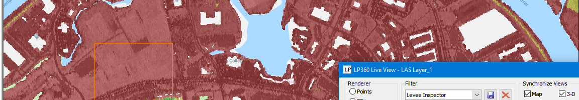
Prolog: I am writing a new whitepaper on model constraints in LP360 (any reference to LP360 where I do not add the term “for ArcGIS,” I am talking about the standalone version. This document is extracted and heavily revised from a series of articles that I wrote for the GeoCue Group Newsletter in 2013. The…
When you ask the question “LIDAR or dense image matching?” with respect to high accuracy drone mapping, you will most likely get an emphatic vote for LIDAR from companies who own a LIDAR and a long list of reasons that LIDAR is bad from those who do not! Obviously, this is not very useful. In…
As many of you who are involved in LIDAR breakline collection know, we added some very nice feature edit tools to the Standard level of LP360 (Windows standalone version). One of these tools, “Create Features from Selected Features” is a very handy utility tool. Its basic function is to collect features you have selected with…
If you are not accustomed to survey techniques, this is a quick tip for speeding up visits to repetitive sites. The AirGon Loki Direct Geopositioning system is a huge time saver when it comes to drone survey work. Loki reduces or eliminates the need for ground control points (but please, always have a reliable way…
Introduction: In September of 2017, AirGon LLC released Loki, a direct geopositioning system for the DJI Inspire 2 drone as well as generic drones carrying a digital single lens reflex (DSLR) camera. Since that time, Loki has been adapted to the Phantom 4 Pro and the m2xx series of DJI drones. A direct geopositioning system…