Author: GeoCue Support Page 11 / 73
GeoCue Support has written 730 articles

Enhancing Crop Management with TrueView LiDAR


Strip Adjustment for Multiple flights
Strip adjustment can be used to adjust not only the flight lines within a flight, but also adjust multiple flights. This article shows how to use strip adjustment to more than one flight. For how to use Strip Adjustment or the method and context behind Strip Adjustment. 1. Requirements There are two requirements needed to adjust…
How to use Strip Adjustment
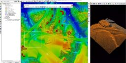
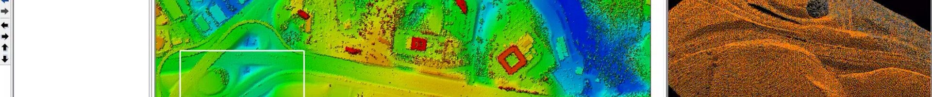
In this article it is explained step by step how to use the Strip Adjustment tool. 1. Introduction Strip Adjustment is a module available in LP360 Drone starting from v2023.2 and is only available within the TrueView workflow. This means that only TrueView and microdrones data processed in LP360 Drone can benefit from Strip Adjustment.…
Utilizing NOAA CORS as a base for your TrueView Project
When a base station file is corrupt or incorrectly recorded (for example: the observation rate is not set correctly or the battery fails), a user may elect to use the efficient SMARTBase or PP-RTX for post processing the sensor trajectory solution for your TrueView, microdrones, guest sensor Cycles, as applicable. Alternatively, with more effort and…
How to Process L1 Data in LP360 Drone


Strip Adjustment – Method and Context
Method Strip adjustment, also known as point cloud registration, is a topic that has been investigated in the areas of research where dynamic measurement systems are used. The goal is to remove inconsistencies in the point cloud. Most first studies of strip adjustment are concentrated on the estimation of the three boresight angles. Indeed, the…
Tips for Quality Assurance and Quality Control (QA/QC) for LiDAR data
Streamline Your Data Review Process with LP360’s Qualty Assurance / Quality Control Tool: Identifying and Fixing Issues Made Easy In this Tool Tips video, hosted by Martin Flood, Vice President of Special Projects, discover how LP360’s Qualty Assurance / Quality Control tool streamlines the project review process, making issue identification and resolution a breeze. Say…
Down To Earth – The Coal Belt
McGehee Engineering Corp., incorporated since 1989, found its niche in the coal mining industry in Alabama and has since grown its business into a multi-disciplined consulting firm providing mining, environmental, civil, geotechnical, analytical, and specialized expertise to a broad range of clients. Keeping up with the times means keeping up with technology, and the McGehee…