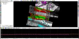
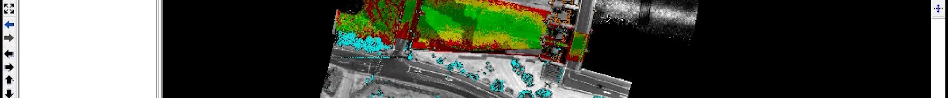
How to Enhance QA/QC with Delta Z Maps in LP360
When moving LP360 Drone to a new machine you may wish to transfer some or all your settings and configurations from your old machine to the new one. After installing LP360 on the new machine, copy any of the settings from your current machine to your new machine that you wish to transfer between machines.…
The licensing system in LP360 v2018.1 and later allows users to move their own node-locked licenses from one machine to another, after a seven day lock period. For LP360 2018.1 and later: Note: It is necessary to enable outbound communications to ls24.rlmcloud.com [104.245.35.155] or ls41.rlmcloud.com [69.87.216.91] or ls60.rlmcloud.com [216.98.10.232], as specified in your License String,…

LP360 Drone errs with, “An unexpected error occurred running POSPacBatch.exe” while submitting Post Process Trajectory File to POSPac Local. This is a generic unexpected error message whenever your POSPac project did not process to a successful solution using the InFusion Single Base processing mode and may be caused by one or more of the reasons…
The TrueView 535 Hardware Users Guide covers the ins and outs of installing and operating the GeoCue TrueView 535 3D Imaging System (3DIS) (LIDAR/Cameras). The TrueView 535 running the latest firmware enables the user to utilize the TrueView Web UI for better feedback and control during operations. Contents About GeoCue 4 About LP360 Drone 5 About TrueView…
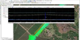
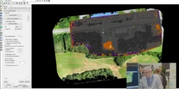
In this video, we demonstrate the updated workflow to help you get the most from your L1 data when you process your L1 data in LP360 Drone. LP360 Drone enhances data from your DJI (M3E, P1, L1, P4 RTK, M200 RTK, Zenmuse X4S, and X7S). We start where DJI Terra software ends. Produce final deliverables,…