Reckon has been deprecated and replaced by LP360 Online, including the LP360 Portal and LP360 Cloud. Introduction GeoCue customers using True View products can upload their cycle data using our cloud service Reckon. Each customer account has a Reckon account with an account administrator that was e-mailed credentials when the first product is purchased. The…
The TrueView GO Hardware Users Guide covers the ins and outs of installing and operating the latest version of the GeoCue TrueView GO LiDAR Handheld (LIDAR/Cameras), TVGO. Contents Table of Contents ………………………………………………………………………………………………. 21.1 Symbol Description …………………………………………………………………………………. 31.2 Recommendations ………………………………………………………………………………….. 31.3 Service & Support …………………………………………………………………………………… 31.4 Disclaimer ……………………………………………………………………………………………… 32 Using Requirements …………………………………………………………………………………….. 42.1 Using Environment………………………………………………………………………………….. 42.2 Tips Before…
This page is no longer updated. Please visit the updated page on the new LP360 Support Knowledge Base for the latest information. 1. Introduction In this article we will explain step by step how to process a TVGO dataset in LP360 Drone. The idea of the article is to serve as a quick user guide…
The TrueView 540 Hardware Users Guide covers the ins and outs of installing and operating the GeoCue TrueView 540 3D Imaging System (3DIS) (LIDAR/Cameras). Contents Table of Contents……………………………………………………………………………………………….21 Reading Tips………………………………………………………………………………………………..41.1 Symbol Description…………………………………………………………………………………. 41.2 Disclaimer ……………………………………………………………………………………………… 42 Usage Requirements……………………………………………………………………………………..52.1 Environment ………………………………………………………………………………………….. 52.2 Tips Before Using ……………………………………………………………………………………. 52.3 Tips During Usage …………………………………………………………………………………… 52.4 Tips After Using………………………………………………………………………………………. 63 Product Description………………………………………………………………………………………73.1…
Question How do I switch the language being used by LP360 or TrueView EVO? Answer LP360 by default will launch in English, unless it’s running on an operating system that is a supported language. Currently the additional supported languages are Chinese (Simplified), French, German, Japanese, Korean, Polish, Portuguese, Russian, and Spanish. To change the default…
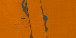
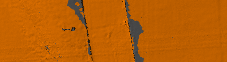
After LIDAR data has been collected and delivered to the processing office one of the first steps, after quality control and calibration, is to run classification routines on the data. There are multiple classification routines, which may be used depending upon the final delivery results of the data, however generally a ground classification routine is…
Ground Classification with LP360 Drone is one of the software’s most common workflows and is required for several other PCTs to function, such as Tree Segmentation, Canopy Height Segmentation, and Building Extractors for dense datasets. For a general video tutorial of the LP360 Ground Classification workflow, please see the How to Perform Ground Classification in…
Applicable to TrueView Classic payloads Updating the local Applanix POSPac UAV installation and updating the POSPac licenses process is relatively simple, but there are a few things to keep in mind so there are no issues encountered by the user. Install the POSPac update ONLY after installing the compatible LP360 Drone update. Compatibility chart is…
The Export Wizard provides a flexible way to convert LIDAR data to other formats. Such data includes the export format, extents, tiling of the data, or cookie cutting of the data using polygons. Derived attributes from interpolated elevations such as slope, aspect, and hillshade (brightness) can also be exported to raster files. LIDAR points within LAS files can also be exported to new LAS files. This is useful when isolating…
This page is no longer updated. Please visit the updated page on the new LP360 Support Knowledge Base for the latest information. The TV540 supports multi-platform integration through the TV540 Data Copy Tool, allowing the user to choose the correct carrier setting. Unlike traditional TV sensors, the physical offsets related to IMU/GPS do not need…