Comparing Slope of 2 or more Flights in the Profile View

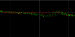
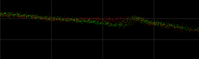
For comparing multiple datasets in a single profile view in the exact same location, all of the Point Source IDs will need to be edited and combined into one LAS layer on import. Before bringing this exercise, import all the desired datasets into a single project, then copy the LAS layers (right-click the layer, selected…

Share

L1 Processing in EVO: Video Training Demo

The DJI Zenmuse L1 is an entry level system that integrates the Avia Livox LIDAR, IMU, and a 20MP mapping camera on a gimbal fitted to the DJI M300 RTK. When bundled with DJI Terra and GeoCue’s EVO software, it allows users to deliver quality data derived from non-complex environments. This video tutorial will walk…

Share

New Features in LP360 2014.1

As I looked over previous issues of GeoCue Group News, I noticed that we announced in June that we would release LP360 2014.1 in late July! Well, obviously that did not happen. I made the decision in July to postpone the release while we added tools to measure LIDAR vertical accuracy and orthophoto horizontal accuracy…

Share

LP360 2014.1 to Release in July

We will be releasing the first major version of LP360 for calendar year 2014 in July. This will encompass the experimental (EXP) releases of 2014 as well as new features we have added since our last EXP release. We have done the usual “keeping up with the changes” sorts of accommodations such as full support…

Share

Educational Highlight: Simulated Flood Map of St Louis Bay Duluth, MN

Henry Hansen is a senior at the University of Wisconsin-Stout majoring in environmental science and minoring in GIS and chemistry. Some of his previous work experiences include the Minnesota Department of Natural Resources, U.S. Fish and Wildlife Service, and the National Park Service. Besides going to class, his primary work deals with the genetics, ecology,…

Share

LP360 Under the Hood: Cross-sections

As we outlined in a previous “LP360 – Under the Hood”, we have added volumetric analysis to LP360. This feature was first released with 2013.2 at the end of last year with an enhanced version in our recent Experimental (EXP) release. An important element of the analysis associated with volumes is the generation of cross-sections.…

Share

Airborne Laser Altimetry for Strategic Habitat Conservation Planning on National Wildlife Refuge Lands

Spatial data layers, predictive model outcomes, and GIS maps describing wildlife habitat relationships are now standard tools for guiding wildlife management and monitoring, and for targeting conservation actions in places where they have the greatest impact (Craighead and Convis 2013). Therefore, it’s not hard to imagine why airborne LiDAR has rapidly become one of the…

Share

Under the Hood: Classification Flags in LP360

The classification of a LIDAR data point consists of both a classification and a classification flag. The classification flag allows for a point to be simultaneously flagged for particular uses while maintaining the classification of the point. For example, a model key-point can be flagged as such while maintaining the ground classification. Classification flags are…

Share

Questions, Questions

As we stand up our new small Unmanned Aerial Systems (sUAS) software and services subsidiary, we are exploring a wide range of technologies. So far, we have more questions than we have answers. We thought we would simply list some of these to give you an idea of our focus. We would be extremely interested…

Share

Departments of Transportation Select LP360

Tennessee and Florida Departments of Transportation recently selected LP360 as their LIDAR point cloud analysis tool. Both DOT’s cited ease of use and that LP360 works easily inside of ArcGIS as some of the main determinants in their selection of LP360. Other factors in Tennessee DOT’s selection was LP360’s breakline tools and the ability to…

Share